St Guthlac's, Stathern
Introduction
The photograph on this page of St Guthlac's, Stathern by Kate Jewell as part of the Geograph project.
The Geograph project started in 2005 with the aim of publishing, organising and preserving representative images for every square kilometre of Great Britain, Ireland and the Isle of Man.

There are currently over 7.5m images from over 14,400 individuals and you can help contribute to the project by visiting https://www.geograph.org.uk
St Guthlac's, Stathern
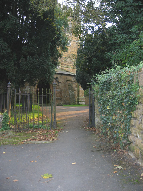
Image: © Kate Jewell Taken: 10 Oct 2005
Stathern's church is tucked away down Church Lane surrounded by village houses. Note the kissing gate leading to the church yard. The Vale Engineering Works Image is opposite.
Images are licensed for reuse under creativecommons.org/licenses/by-sa/2.0
Image Location


Leaflet Map data © OpenStreetMap
Latitude
52.870127
Longitude
-0.853363