#8 Infirmary Road at Shirland Street junction
Introduction
The photograph on this page of #8 Infirmary Road at Shirland Street junction by Roger Templeman as part of the Geograph project.
The Geograph project started in 2005 with the aim of publishing, organising and preserving representative images for every square kilometre of Great Britain, Ireland and the Isle of Man.

There are currently over 7.5m images from over 14,400 individuals and you can help contribute to the project by visiting https://www.geograph.org.uk
#8 Infirmary Road at Shirland Street junction
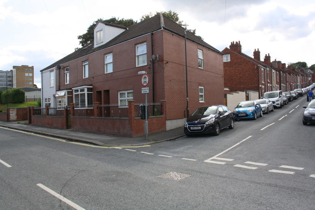
Image: © Roger Templeman Taken: 8 Sep 2019
Ordnance Survey records indicate that a benchmark levelled at 71.588m above Newlyn Datum in 1961 was present on the north angle of the house which now has brick-patterned cladding applied.
Images are licensed for reuse under creativecommons.org/licenses/by-sa/2.0
Image Location
Latitude
53.241836
Longitude
-1.424562