Belton Open Field (4)
Introduction
The photograph on this page of Belton Open Field (4) by Chris as part of the Geograph project.
The Geograph project started in 2005 with the aim of publishing, organising and preserving representative images for every square kilometre of Great Britain, Ireland and the Isle of Man.

There are currently over 7.5m images from over 14,400 individuals and you can help contribute to the project by visiting https://www.geograph.org.uk
Belton Open Field (4)
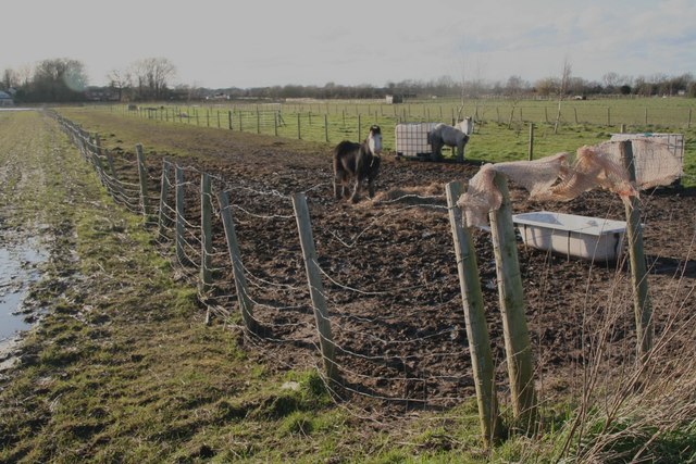
Image: © Chris Taken: 29 Feb 2020
Remnants of medieval strip farming. Fenced strip in use as pony paddock is a recent modification. Some strips have been amalgamated but a selection of different crops can still be seen. See also Image] and https://www.northlincs.gov.uk/wp-content/uploads/2018/11/Epworth-conservation-area-appraisal330KB.pdf The comical pony can be seen in Image] and Image
Images are licensed for reuse under creativecommons.org/licenses/by-sa/2.0
Image Location
Latitude
53.548728
Longitude
-0.824992