Houses at the bottom of Barrow Hill
Introduction
The photograph on this page of Houses at the bottom of Barrow Hill by Ian Hawfinch as part of the Geograph project.
The Geograph project started in 2005 with the aim of publishing, organising and preserving representative images for every square kilometre of Great Britain, Ireland and the Isle of Man.

There are currently over 7.5m images from over 14,400 individuals and you can help contribute to the project by visiting https://www.geograph.org.uk
Houses at the bottom of Barrow Hill
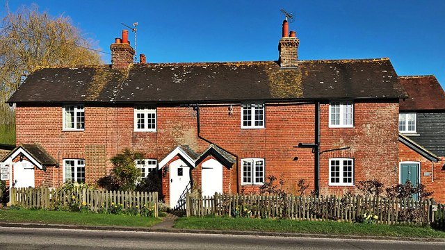
Image: © Ian Hawfinch Taken: 1 Mar 2020
These houses lie on the east side of the A2037.
Images are licensed for reuse under creativecommons.org/licenses/by-sa/2.0
Image Location
Latitude
50.923155
Longitude
-0.269431