#128 Chester Street and Monkey Park Community Centre
Introduction
The photograph on this page of #128 Chester Street and Monkey Park Community Centre by Luke Shaw as part of the Geograph project.
The Geograph project started in 2005 with the aim of publishing, organising and preserving representative images for every square kilometre of Great Britain, Ireland and the Isle of Man.

There are currently over 7.5m images from over 14,400 individuals and you can help contribute to the project by visiting https://www.geograph.org.uk
#128 Chester Street and Monkey Park Community Centre
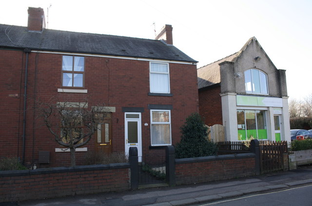
Image: © Luke Shaw Taken: 27 Feb 2020
Ordnance Survey records indicate that there was a benchmark levelled at 85.426m above Newlyn Datum on the road end of the party wall between the two properties. The wall appears to have been rebuilt.
Images are licensed for reuse under creativecommons.org/licenses/by-sa/2.0
Image Location
Latitude
53.23815
Longitude
-1.443491