Looking south east along Gouthwaite Reservoir
Introduction
The photograph on this page of Looking south east along Gouthwaite Reservoir by Gordon Hatton as part of the Geograph project.
The Geograph project started in 2005 with the aim of publishing, organising and preserving representative images for every square kilometre of Great Britain, Ireland and the Isle of Man.

There are currently over 7.5m images from over 14,400 individuals and you can help contribute to the project by visiting https://www.geograph.org.uk
Looking south east along Gouthwaite Reservoir
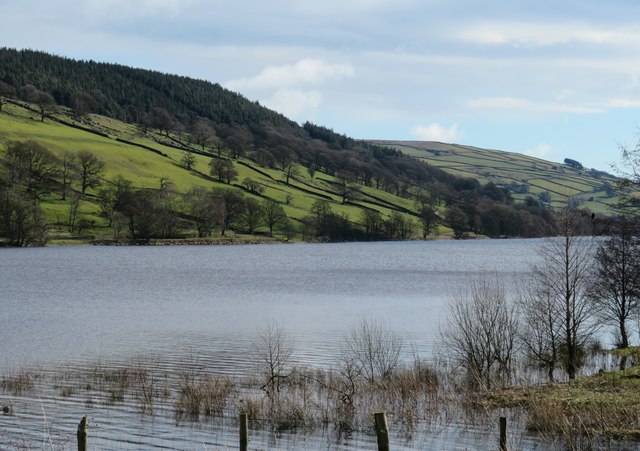
Image: © Gordon Hatton Taken: 26 Feb 2020
The reservoir is a scenic feature in Nidderdale and is now an SSSI and nature reserve. Unlike the two large reservoirs nearer the head of the dale, Gouthwaite was not constructed to supply water to the city of Bradford, but was to ensure a constant supply of water downstream, where at the time of the reservoir's construction [completed 1901] there were many mills requiring water power etc, mostly associated with flax and linen.
Images are licensed for reuse under creativecommons.org/licenses/by-sa/2.0
Image Location
Latitude
54.123999
Longitude
-1.809318