River Neet - or Strat
Introduction
The photograph on this page of River Neet - or Strat by Derek Harper as part of the Geograph project.
The Geograph project started in 2005 with the aim of publishing, organising and preserving representative images for every square kilometre of Great Britain, Ireland and the Isle of Man.

There are currently over 7.5m images from over 14,400 individuals and you can help contribute to the project by visiting https://www.geograph.org.uk
River Neet - or Strat
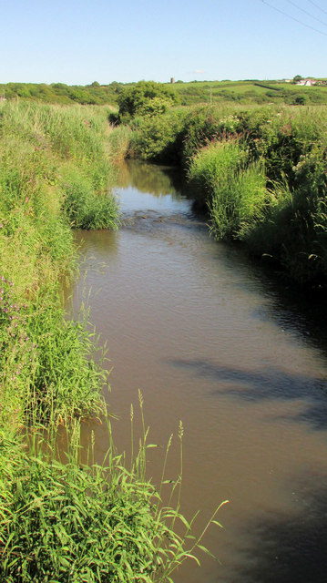
Image: © Derek Harper Taken: 21 Jun 2019
A view upstream from Rodd's Bridge, with the distant tower of St Marwenne's at Marhamchurch, and the hamlet of Hele on the right. Many small rivers in these parts have no name, so for this one to have two seems greedy as well as confusing.
Images are licensed for reuse under creativecommons.org/licenses/by-sa/2.0
Image Location
Latitude
50.814467
Longitude
-4.538612