Red House Gardens
Introduction
The photograph on this page of Red House Gardens by Ian Capper as part of the Geograph project.
The Geograph project started in 2005 with the aim of publishing, organising and preserving representative images for every square kilometre of Great Britain, Ireland and the Isle of Man.

There are currently over 7.5m images from over 14,400 individuals and you can help contribute to the project by visiting https://www.geograph.org.uk
Red House Gardens
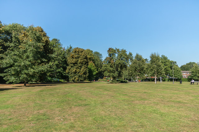
Image: © Ian Capper Taken: 18 Sep 2019
Open space named after a house, later offices that once stood on the site, replaced in 1985 by Fairmount House (see Image).
Images are licensed for reuse under creativecommons.org/licenses/by-sa/2.0
Image Location
Latitude
51.297329
Longitude
-0.33297