Aberkenfig Heol Persondy
Introduction
The photograph on this page of Aberkenfig Heol Persondy by Colin Prosser as part of the Geograph project.
The Geograph project started in 2005 with the aim of publishing, organising and preserving representative images for every square kilometre of Great Britain, Ireland and the Isle of Man.

There are currently over 7.5m images from over 14,400 individuals and you can help contribute to the project by visiting https://www.geograph.org.uk
Aberkenfig Heol Persondy
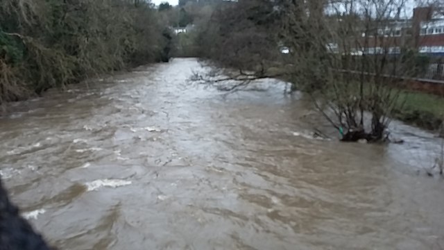
Image: © Colin Prosser Taken: 16 Feb 2020
View off old Pandy bridge Aberkenfig of River Ogmore after Storm Dennis direction towards the old mill
Images are licensed for reuse under creativecommons.org/licenses/by-sa/2.0
Image Location
Latitude
51.539092
Longitude
-3.59526