Ugworthy Barrow
Introduction
The photograph on this page of Ugworthy Barrow by Derek Harper as part of the Geograph project.
The Geograph project started in 2005 with the aim of publishing, organising and preserving representative images for every square kilometre of Great Britain, Ireland and the Isle of Man.

There are currently over 7.5m images from over 14,400 individuals and you can help contribute to the project by visiting https://www.geograph.org.uk
Ugworthy Barrow
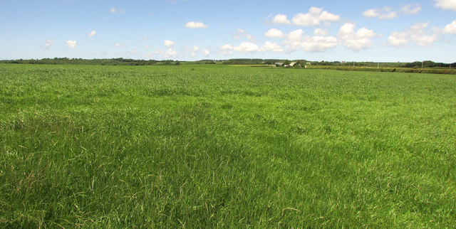
Image: © Derek Harper Taken: 21 Jun 2019
A wide angle view that includes Image, though here the barrow is harder to make out. Right of it is West Ugworthy.
Images are licensed for reuse under creativecommons.org/licenses/by-sa/2.0
Image Location
Latitude
50.843499
Longitude
-4.386199