Sally Port Gardens, Brompton
Introduction
The photograph on this page of Sally Port Gardens, Brompton by Danny P Robinson as part of the Geograph project.
The Geograph project started in 2005 with the aim of publishing, organising and preserving representative images for every square kilometre of Great Britain, Ireland and the Isle of Man.

There are currently over 7.5m images from over 14,400 individuals and you can help contribute to the project by visiting https://www.geograph.org.uk
Sally Port Gardens, Brompton
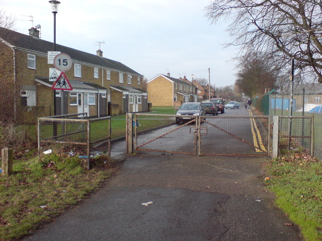
Image: © Danny P Robinson Taken: 24 Dec 2007
Showing houses on the Army housing estate. This path and road are part of the Saxon Shore Way, a long distance footpath.
Images are licensed for reuse under creativecommons.org/licenses/by-sa/2.0
Image Location
Latitude
51.387165
Longitude
0.53666