Tarns Dub
Introduction
The photograph on this page of Tarns Dub by Nigel Monckton as part of the Geograph project.
The Geograph project started in 2005 with the aim of publishing, organising and preserving representative images for every square kilometre of Great Britain, Ireland and the Isle of Man.

There are currently over 7.5m images from over 14,400 individuals and you can help contribute to the project by visiting https://www.geograph.org.uk
Tarns Dub
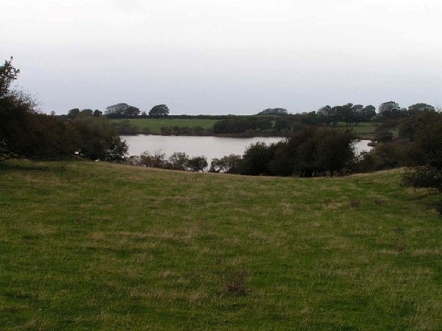
Image: © Nigel Monckton Taken: 10 Oct 2005
A somewhat unexpected tarn in a hollow as the land rises from the coastal marshes and meadows.
Images are licensed for reuse under creativecommons.org/licenses/by-sa/2.0
Image Location


Leaflet Map data © OpenStreetMap
Latitude
54.812733
Longitude
-3.377059