Pompren ger Heol Ddu Newydd / A Footbridge near Heol Ddu Newydd
Introduction
The photograph on this page of Pompren ger Heol Ddu Newydd / A Footbridge near Heol Ddu Newydd by Alan Richards as part of the Geograph project.
The Geograph project started in 2005 with the aim of publishing, organising and preserving representative images for every square kilometre of Great Britain, Ireland and the Isle of Man.

There are currently over 7.5m images from over 14,400 individuals and you can help contribute to the project by visiting https://www.geograph.org.uk
Pompren ger Heol Ddu Newydd / A Footbridge near Heol Ddu Newydd
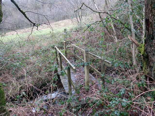
Image: © Alan Richards Taken: 18 Feb 2020
Pompren yn rhychwantu nant fach dienw ger Ffarm Heol Ddu Newydd. Ar adeg ysgrifennu hwn mae'r llwybr wedi ei rwystro. A footbridge spanning an unnamed brook near Heol Ddu Newydd Farm (trans. new black road). At the time of writing the footpath is blocked.
Images are licensed for reuse under creativecommons.org/licenses/by-sa/2.0
Image Location
Latitude
51.732049
Longitude
-3.876034