Railings defending water channel
Introduction
The photograph on this page of Railings defending water channel by Trevor Littlewood as part of the Geograph project.
The Geograph project started in 2005 with the aim of publishing, organising and preserving representative images for every square kilometre of Great Britain, Ireland and the Isle of Man.

There are currently over 7.5m images from over 14,400 individuals and you can help contribute to the project by visiting https://www.geograph.org.uk
Railings defending water channel
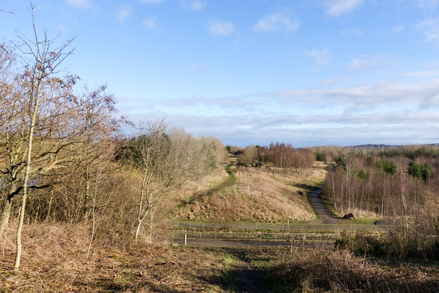
Image: © Trevor Littlewood Taken: 4 Feb 2020
At Watergate Forest Park the Black Burn flows in a steep-sided valley into a lake which can just be detected through tree branches at the left side of the image. The water flowing out of the lake runs through the channel fenced off by the railings, meanders for a way beside the A692, then disappears from OS maps presumably being channelled through underground pipes into the River Team.
Images are licensed for reuse under creativecommons.org/licenses/by-sa/2.0
Image Location
Latitude
54.934628
Longitude
-1.652716