Springfield Road at Harris Way junction
Introduction
The photograph on this page of Springfield Road at Harris Way junction by phil Richards as part of the Geograph project.
The Geograph project started in 2005 with the aim of publishing, organising and preserving representative images for every square kilometre of Great Britain, Ireland and the Isle of Man.

There are currently over 7.5m images from over 14,400 individuals and you can help contribute to the project by visiting https://www.geograph.org.uk
Springfield Road at Harris Way junction
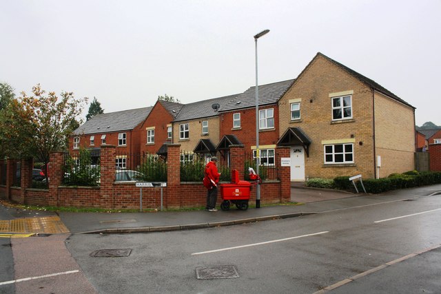
Image: © phil Richards Taken: 9 Sep 2019
Ordnance Survey records indicate that in 1951 there was a social club here on which a benchmark was cut. See www.bench-marks.org.uk/bm116241
Images are licensed for reuse under creativecommons.org/licenses/by-sa/2.0
Image Location
Latitude
52.901838
Longitude
-0.646163