Stalybridge Civic Hall
Introduction
The photograph on this page of Stalybridge Civic Hall by Gerald England as part of the Geograph project.
The Geograph project started in 2005 with the aim of publishing, organising and preserving representative images for every square kilometre of Great Britain, Ireland and the Isle of Man.

There are currently over 7.5m images from over 14,400 individuals and you can help contribute to the project by visiting https://www.geograph.org.uk
Stalybridge Civic Hall
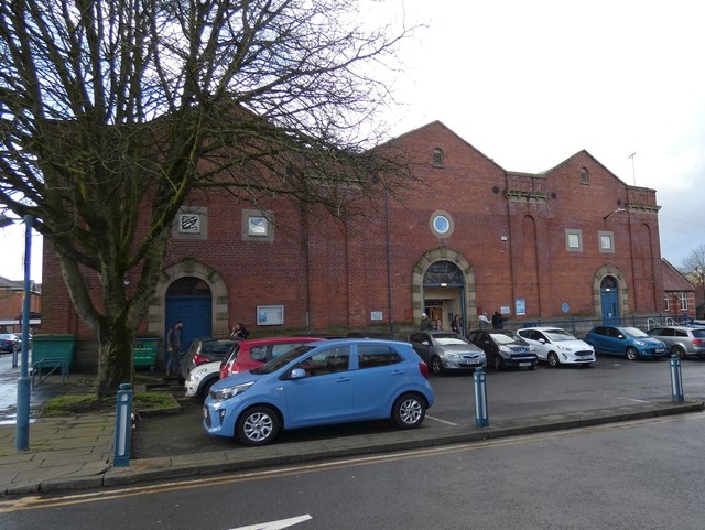
Image: © Gerald England Taken: 12 Feb 2020
The Civic Hall occupies the Grade II listed https://historicengland.org.uk/listing/the-list/list-entry/1068023 former Victoria Market Hall which dates from 1866. Access is from the rear of the building.
Images are licensed for reuse under creativecommons.org/licenses/by-sa/2.0
Image Location
Latitude
53.482847
Longitude
-2.055415