
Byway through Harechurch Wood
Introduction
The photograph on this page of Byway through Harechurch Wood by John Winder as part of the Geograph project.
The Geograph project started in 2005 with the aim of publishing, organising and preserving representative images for every square kilometre of Great Britain, Ireland and the Isle of Man.

There are currently over 7.5m images from over 14,400 individuals and you can help contribute to the project by visiting https://www.geograph.org.uk
Byway through Harechurch Wood
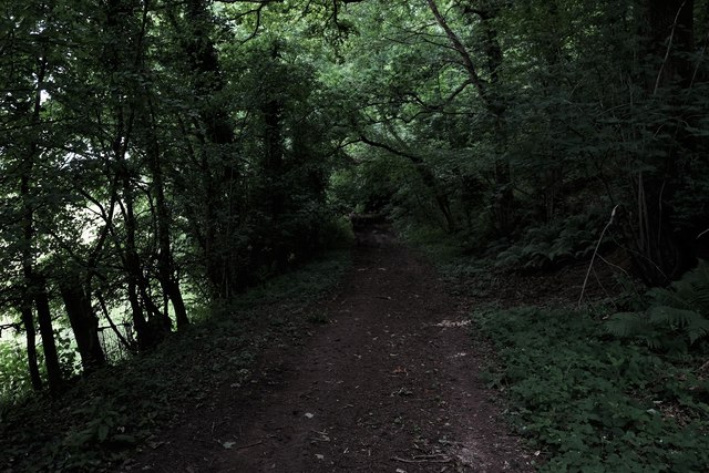
Image: © John Winder Taken: 22 Jun 2017
An ancient green lane leading from Cuckoo Patch to Bailey. In 1808 this was recorded as a public carriageway, 30 feet wide and "extending into the course of an ancient road across the Purlieu [the name of a nearby forest] called Broomhill till communicating with Lea Bailey at the east side of the Purlieu". In 1952 Herefordshire Council recorded it as a green lane in poor condition: it was added to the definitive map as a footpath but has since been upgraded to a Byway. The information in this caption (and indeed the route we were following when I took this!) is from Heather Hurley's book "The Green Lanes of Herefordshire".
Images are licensed for reuse under creativecommons.org/licenses/by-sa/2.0
Image Location

Latitude
51.86414
Longitude
-2.533355