Heathway, Dagenham
Introduction
The photograph on this page of Heathway, Dagenham by Stephen McKay as part of the Geograph project.
The Geograph project started in 2005 with the aim of publishing, organising and preserving representative images for every square kilometre of Great Britain, Ireland and the Isle of Man.

There are currently over 7.5m images from over 14,400 individuals and you can help contribute to the project by visiting https://www.geograph.org.uk
Heathway, Dagenham
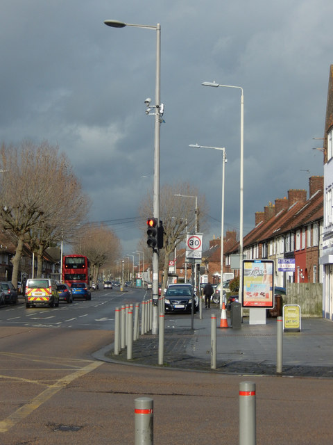
Image: © Stephen McKay Taken: 13 Feb 2020
Heathway, also the A1240, is a thoroughfare passing through residential Dagenham. This is the view from its junction with Reede Road just north of Dagenham's shopping centre.
Images are licensed for reuse under creativecommons.org/licenses/by-sa/2.0
Image Location
Latitude
51.543412
Longitude
0.147855