Parsloes Park
Introduction
The photograph on this page of Parsloes Park by Stephen McKay as part of the Geograph project.
The Geograph project started in 2005 with the aim of publishing, organising and preserving representative images for every square kilometre of Great Britain, Ireland and the Isle of Man.

There are currently over 7.5m images from over 14,400 individuals and you can help contribute to the project by visiting https://www.geograph.org.uk
Parsloes Park
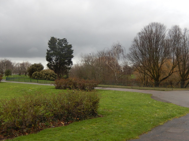
Image: © Stephen McKay Taken: 13 Feb 2020
When the London County Council built Becontree housing estate between 1921 and 1935 it made generous provision for a public park which was eventually opened as Parsloes Park in 1935. The name derives from a 13th century family, recorded as Passelewe, who owned land in the area. It is now managed by Barking and Dagenham Borough Council.
Images are licensed for reuse under creativecommons.org/licenses/by-sa/2.0
Image Location
Latitude
51.542329
Longitude
0.128335