Whiterock Terrace, Wadebridge
Introduction
The photograph on this page of Whiterock Terrace, Wadebridge by Derek Harper as part of the Geograph project.
The Geograph project started in 2005 with the aim of publishing, organising and preserving representative images for every square kilometre of Great Britain, Ireland and the Isle of Man.

There are currently over 7.5m images from over 14,400 individuals and you can help contribute to the project by visiting https://www.geograph.org.uk
Whiterock Terrace, Wadebridge
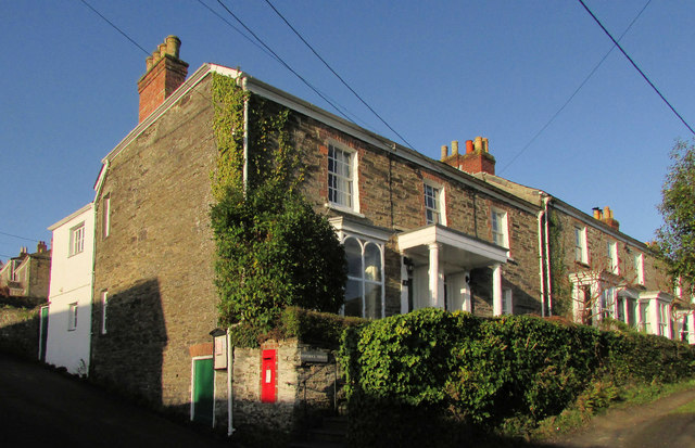
Image: © Derek Harper Taken: 8 Feb 2020
All listed; the first pair are described at https://historicengland.org.uk/listing/the-list/list-entry/1142976 "Circa 1830s ... form part of an unaltered C19 terrace". The retaining wall is also listed https://historicengland.org.uk/listing/the-list/list-entry/1142977 , but I can't imagine that ivy is doing it any good. The Elizabethan postbox is PL27 15.
Images are licensed for reuse under creativecommons.org/licenses/by-sa/2.0
Image Location
Latitude
50.51506
Longitude
-4.84119