Old Windsor Lock
Introduction
The photograph on this page of Old Windsor Lock by Des Blenkinsopp as part of the Geograph project.
The Geograph project started in 2005 with the aim of publishing, organising and preserving representative images for every square kilometre of Great Britain, Ireland and the Isle of Man.

There are currently over 7.5m images from over 14,400 individuals and you can help contribute to the project by visiting https://www.geograph.org.uk
Old Windsor Lock
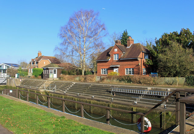
Image: © Des Blenkinsopp Taken: 6 Feb 2020
There has been a lock here since 1822 when the New Cut was constructed to bypass a long meander on the main river. https://en.wikipedia.org/wiki/Old_Windsor_Lock
Images are licensed for reuse under creativecommons.org/licenses/by-sa/2.0
Image Location
Latitude
51.463437
Longitude
-0.569091