Road into Waun Rhydd OAP Complex, Gelligaer
Introduction
The photograph on this page of Road into Waun Rhydd OAP Complex, Gelligaer by Jaggery as part of the Geograph project.
The Geograph project started in 2005 with the aim of publishing, organising and preserving representative images for every square kilometre of Great Britain, Ireland and the Isle of Man.

There are currently over 7.5m images from over 14,400 individuals and you can help contribute to the project by visiting https://www.geograph.org.uk
Road into Waun Rhydd OAP Complex, Gelligaer
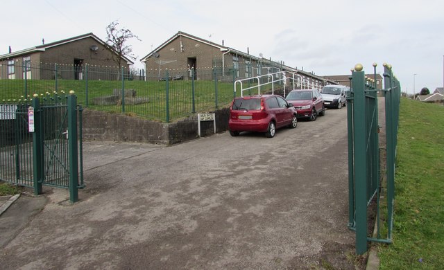
Image: © Jaggery Taken: 13 Feb 2019
From Heol Cattwg into this https://www.geograph.org.uk/photo/3454306 area of bungalows for senior citizens.
Images are licensed for reuse under creativecommons.org/licenses/by-sa/2.0
Image Location
Latitude
51.661423
Longitude
-3.250819