House and farm building at Highbarn on south side A66
Introduction
The photograph on this page of House and farm building at Highbarn on south side A66 by Luke Shaw as part of the Geograph project.
The Geograph project started in 2005 with the aim of publishing, organising and preserving representative images for every square kilometre of Great Britain, Ireland and the Isle of Man.

There are currently over 7.5m images from over 14,400 individuals and you can help contribute to the project by visiting https://www.geograph.org.uk
House and farm building at Highbarn on south side A66
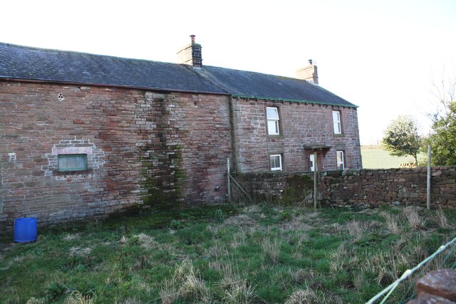
Image: © Luke Shaw Taken: 4 Feb 2020
Ordnance Survey records show that a benchmark was cut on an outbuilding here in 1844: see www.bench-marks.org.uk/bm67379
Images are licensed for reuse under creativecommons.org/licenses/by-sa/2.0
Image Location
Latitude
54.652666
Longitude
-2.662074