Footbridge over the Mill Burn
Introduction
The photograph on this page of Footbridge over the Mill Burn by Lairich Rig as part of the Geograph project.
The Geograph project started in 2005 with the aim of publishing, organising and preserving representative images for every square kilometre of Great Britain, Ireland and the Isle of Man.

There are currently over 7.5m images from over 14,400 individuals and you can help contribute to the project by visiting https://www.geograph.org.uk
Footbridge over the Mill Burn
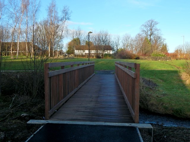
Image: © Lairich Rig Taken: 30 Dec 2019
Lighting is often a challenge at this time of year, but the motivation for taking this picture was that work to replace the bridge had finished just a few days earlier. Its predecessor is shown in Image, in more or less the same place, as revealed by the alignment of background features.
Images are licensed for reuse under creativecommons.org/licenses/by-sa/2.0
Image Location
Latitude
55.977332
Longitude
-4.582739