Clos y Sticlau houses, Seven Sisters
Introduction
The photograph on this page of Clos y Sticlau houses, Seven Sisters by Jaggery as part of the Geograph project.
The Geograph project started in 2005 with the aim of publishing, organising and preserving representative images for every square kilometre of Great Britain, Ireland and the Isle of Man.

There are currently over 7.5m images from over 14,400 individuals and you can help contribute to the project by visiting https://www.geograph.org.uk
Clos y Sticlau houses, Seven Sisters
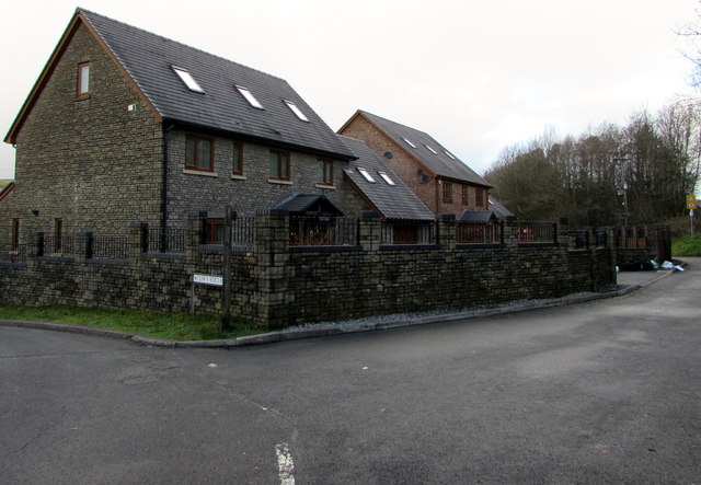
Image: © Jaggery Taken: 15 Jan 2020
Viewed from a bend in the A4109 at the point where Church Road becomes High Street.
Images are licensed for reuse under creativecommons.org/licenses/by-sa/2.0
Image Location
Latitude
51.767561
Longitude
-3.711564