Llwybr ger Danrallt / Path near Danrallt
Introduction
The photograph on this page of Llwybr ger Danrallt / Path near Danrallt by Alan Richards as part of the Geograph project.
The Geograph project started in 2005 with the aim of publishing, organising and preserving representative images for every square kilometre of Great Britain, Ireland and the Isle of Man.

There are currently over 7.5m images from over 14,400 individuals and you can help contribute to the project by visiting https://www.geograph.org.uk
Llwybr ger Danrallt / Path near Danrallt
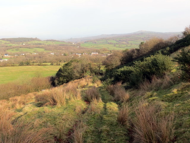
Image: © Alan Richards Taken: 5 Feb 2020
Llwybr cyhoeddus yn mynd i lawr y waered ger Ffarm Danrallt. Ar adeg ysgrifennu hwn mae'r llwybr wedi'i rwystro. A public footpath descending the hill near Danrallt Farm (trans. beneath the wooded hill). At the time of writing the path is obstructed.
Images are licensed for reuse under creativecommons.org/licenses/by-sa/2.0
Image Location
Latitude
51.833161
Longitude
-4.046132