De Burgh Arms, West Drayton
Introduction
The photograph on this page of De Burgh Arms, West Drayton by Derek Harper as part of the Geograph project.
The Geograph project started in 2005 with the aim of publishing, organising and preserving representative images for every square kilometre of Great Britain, Ireland and the Isle of Man.

There are currently over 7.5m images from over 14,400 individuals and you can help contribute to the project by visiting https://www.geograph.org.uk
De Burgh Arms, West Drayton
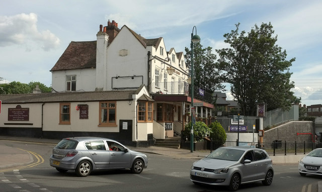
Image: © Derek Harper Taken: 25 May 2019
See Image; this view of the listed building https://historicengland.org.uk/listing/the-list/list-entry/1080122 looks across the Station Road / Station Approach junction's mini-roundabout. It seems to have reverted to being a pub.
Images are licensed for reuse under creativecommons.org/licenses/by-sa/2.0
Image Location
Latitude
51.510164
Longitude
-0.473816