The remains of Drummond Mill being doused, Lumb Lane
Introduction
The photograph on this page of The remains of Drummond Mill being doused, Lumb Lane by habiloid as part of the Geograph project.
The Geograph project started in 2005 with the aim of publishing, organising and preserving representative images for every square kilometre of Great Britain, Ireland and the Isle of Man.

There are currently over 7.5m images from over 14,400 individuals and you can help contribute to the project by visiting https://www.geograph.org.uk
The remains of Drummond Mill being doused, Lumb Lane
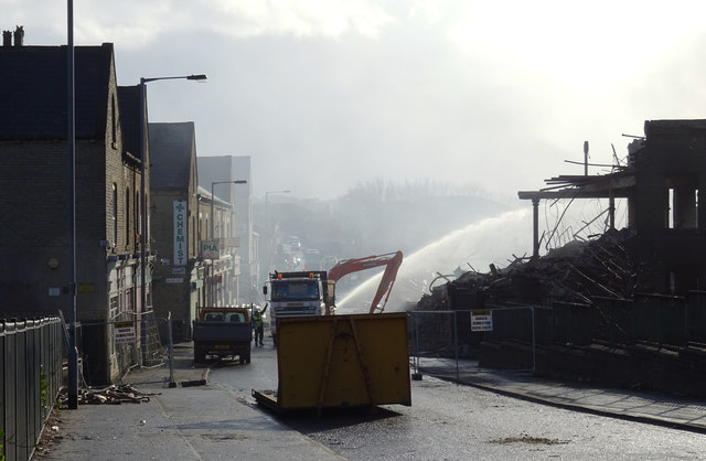
Image: © habiloid Taken: 30 Jan 2016
The aftermath of the fire that started two days earlier and destroyed the mill.
Images are licensed for reuse under creativecommons.org/licenses/by-sa/2.0
Image Location
Latitude
53.801529
Longitude
-1.763866