Barnsley Canal under High Bridge
Introduction
The photograph on this page of Barnsley Canal under High Bridge by Gordon Hatton as part of the Geograph project.
The Geograph project started in 2005 with the aim of publishing, organising and preserving representative images for every square kilometre of Great Britain, Ireland and the Isle of Man.

There are currently over 7.5m images from over 14,400 individuals and you can help contribute to the project by visiting https://www.geograph.org.uk
Barnsley Canal under High Bridge
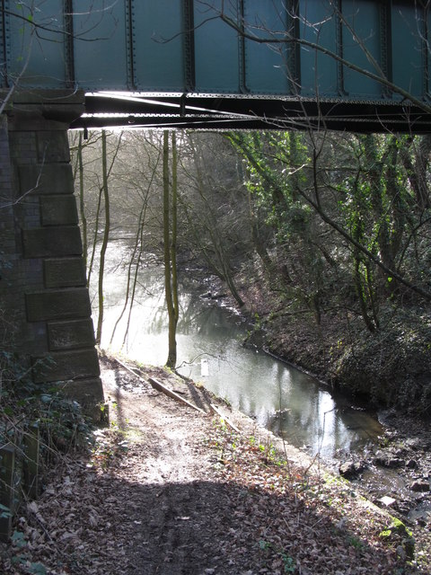
Image: © Gordon Hatton Taken: 1 Feb 2020
The disused canal at High Bridge on Navvy Lane. Surely this cannot be the original canal bridge?
Images are licensed for reuse under creativecommons.org/licenses/by-sa/2.0
Image Location
Latitude
53.615057
Longitude
-1.446409