Old railway route crossing road at Cornforth
Introduction
The photograph on this page of Old railway route crossing road at Cornforth by Trevor Littlewood as part of the Geograph project.
The Geograph project started in 2005 with the aim of publishing, organising and preserving representative images for every square kilometre of Great Britain, Ireland and the Isle of Man.

There are currently over 7.5m images from over 14,400 individuals and you can help contribute to the project by visiting https://www.geograph.org.uk
Old railway route crossing road at Cornforth
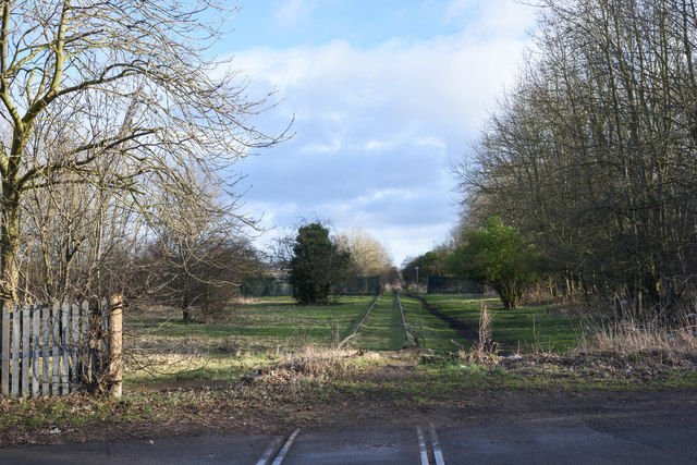
Image: © Trevor Littlewood Taken: 1 Feb 2020
The disused rail route is unusual in that the rails remain in place even across the road surface, however behind the camera position, to the south-west, they have been lifted. Could be part of the Clarence line?
Images are licensed for reuse under creativecommons.org/licenses/by-sa/2.0
Image Location
Latitude
54.703606
Longitude
-1.526045