Darvel from the air
Introduction
The photograph on this page of Darvel from the air by Thomas Nugent as part of the Geograph project.
The Geograph project started in 2005 with the aim of publishing, organising and preserving representative images for every square kilometre of Great Britain, Ireland and the Isle of Man.

There are currently over 7.5m images from over 14,400 individuals and you can help contribute to the project by visiting https://www.geograph.org.uk
Darvel from the air
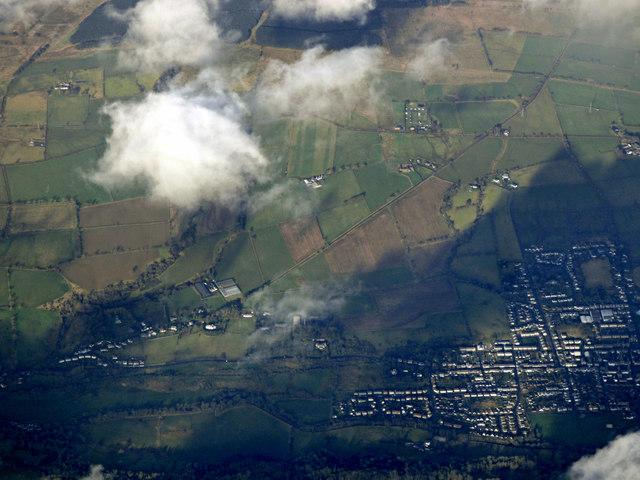
Image: © Thomas Nugent Taken: 27 Jan 2020
Darvel is on the right, the east end of Newmilns on the left. The dead straight Foulpapple Road can be seen running diagonally up the hill on the north side of the valley.
Images are licensed for reuse under creativecommons.org/licenses/by-sa/2.0
Image Location
Latitude
55.609581
Longitude
-4.295545