Pen Lifau
Introduction
The photograph on this page of Pen Lifau by Alan Richards as part of the Geograph project.
The Geograph project started in 2005 with the aim of publishing, organising and preserving representative images for every square kilometre of Great Britain, Ireland and the Isle of Man.

There are currently over 7.5m images from over 14,400 individuals and you can help contribute to the project by visiting https://www.geograph.org.uk
Pen Lifau
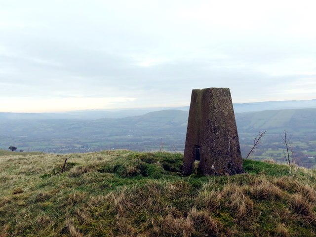
Image: © Alan Richards Taken: 3 Nov 2017
Piler triongli ar gopa Pen Lifau. Mae pentre Cilycwm i'w weld yn y pellter. Cafwyd caniatad oddi wrth y tirfeddiannwr i ymweld â'r bryn hwn. A trig point on the summit of Pen Lifau (trans. peak above the streams?). The village of Cilycwm (trans. valley nook) can be seen in the distance. Permission was granted from the landowner to visit this hill.
Images are licensed for reuse under creativecommons.org/licenses/by-sa/2.0
Image Location


Leaflet Map data © OpenStreetMap
Latitude
52.038963
Longitude
-3.85795