Whitchurch Lane
Introduction
The photograph on this page of Whitchurch Lane by Neil Owen as part of the Geograph project.
The Geograph project started in 2005 with the aim of publishing, organising and preserving representative images for every square kilometre of Great Britain, Ireland and the Isle of Man.

There are currently over 7.5m images from over 14,400 individuals and you can help contribute to the project by visiting https://www.geograph.org.uk
Whitchurch Lane
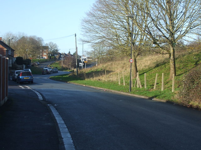
Image: © Neil Owen Taken: 29 Jan 2020
The lane runs below the more modern dual-carriageway and as it is close to the Pigeonhouse Stream the lane has had problems with flooding in the past.
Images are licensed for reuse under creativecommons.org/licenses/by-sa/2.0
Image Location
Latitude
51.412997
Longitude
-2.598974