Garvald Street regeneration
Introduction
The photograph on this page of Garvald Street regeneration by Thomas Nugent as part of the Geograph project.
The Geograph project started in 2005 with the aim of publishing, organising and preserving representative images for every square kilometre of Great Britain, Ireland and the Isle of Man.

There are currently over 7.5m images from over 14,400 individuals and you can help contribute to the project by visiting https://www.geograph.org.uk
Garvald Street regeneration
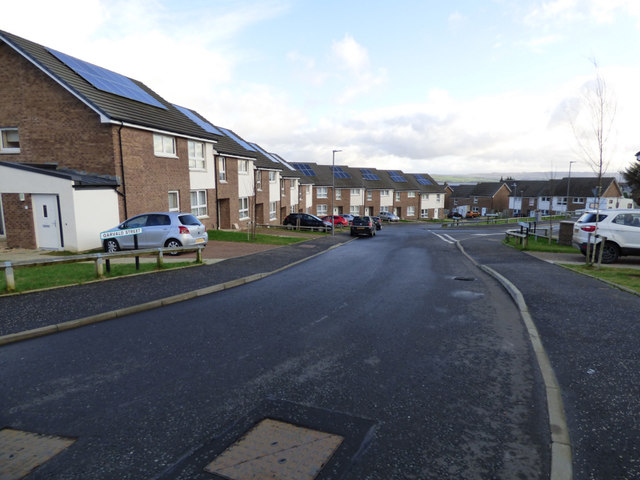
Image: © Thomas Nugent Taken: 27 Jan 2020
Recently built houses on the site of the former Garvald Street tenements. Compare with the same scene in 2007 Image
Images are licensed for reuse under creativecommons.org/licenses/by-sa/2.0
Image Location
Latitude
55.941341
Longitude
-4.738416