Three-storey houses, Watton, Brecon
Introduction
The photograph on this page of Three-storey houses, Watton, Brecon by Jaggery as part of the Geograph project.
The Geograph project started in 2005 with the aim of publishing, organising and preserving representative images for every square kilometre of Great Britain, Ireland and the Isle of Man.

There are currently over 7.5m images from over 14,400 individuals and you can help contribute to the project by visiting https://www.geograph.org.uk
Three-storey houses, Watton, Brecon
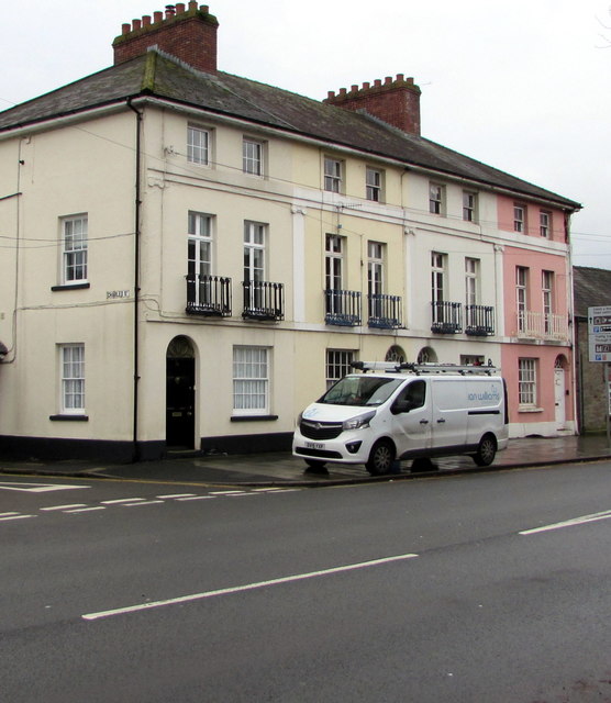
Image: © Jaggery Taken: 24 Nov 2019
Row of houses on the south side of the B4601, here named Watton. The broken white lines on the left are at the Charles Street junction.
Images are licensed for reuse under creativecommons.org/licenses/by-sa/2.0
Image Location
Latitude
51.944584
Longitude
-3.385551