Pembroke from the castle, 1953
Introduction
The photograph on this page of Pembroke from the castle, 1953 by David M Murray-Rust as part of the Geograph project.
The Geograph project started in 2005 with the aim of publishing, organising and preserving representative images for every square kilometre of Great Britain, Ireland and the Isle of Man.

There are currently over 7.5m images from over 14,400 individuals and you can help contribute to the project by visiting https://www.geograph.org.uk
Pembroke from the castle, 1953
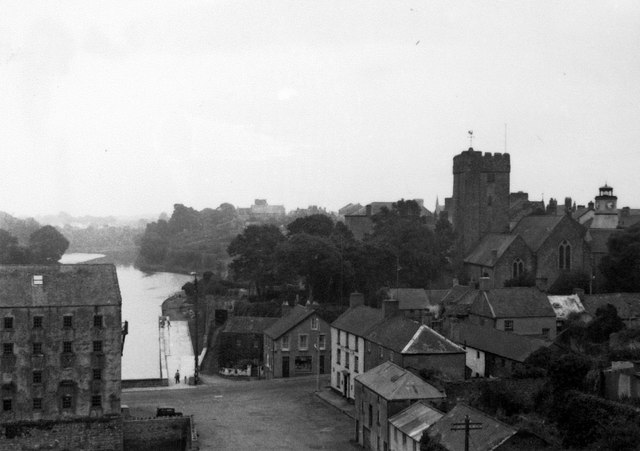
Image: © David M Murray-Rust Taken: 12 Aug 1953
The old tidal mill to the left was destroyed by fire in 1955. To the right the parish church of St Mary the Virgin, and to its right the tower of Clock House.
Images are licensed for reuse under creativecommons.org/licenses/by-sa/2.0
Image Location
Latitude
51.676518
Longitude
-4.917825