The Cornerhouse
Introduction
The photograph on this page of The Cornerhouse by Colin Smith as part of the Geograph project.
The Geograph project started in 2005 with the aim of publishing, organising and preserving representative images for every square kilometre of Great Britain, Ireland and the Isle of Man.

There are currently over 7.5m images from over 14,400 individuals and you can help contribute to the project by visiting https://www.geograph.org.uk
The Cornerhouse
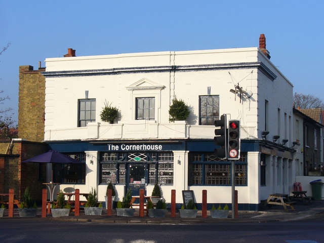
Image: © Colin Smith Taken: 21 Dec 2007
Ditton pub on corner of Ferry and Portsmouth Roads, recently re-opened in time for Christmas. Earlier this year it was called the "Ferry Tavern". Years ago it was named the "Essex Arms".
Images are licensed for reuse under creativecommons.org/licenses/by-sa/2.0
Image Location
Latitude
51.389528
Longitude
-0.325339