Nos.52 and 50 Durranhill Road
Introduction
The photograph on this page of Nos.52 and 50 Durranhill Road by Luke Shaw as part of the Geograph project.
The Geograph project started in 2005 with the aim of publishing, organising and preserving representative images for every square kilometre of Great Britain, Ireland and the Isle of Man.

There are currently over 7.5m images from over 14,400 individuals and you can help contribute to the project by visiting https://www.geograph.org.uk
Nos.52 and 50 Durranhill Road
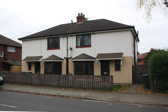
Image: © Luke Shaw Taken: 16 Nov 2019
Ordnance Survey records indicate a benchmark was cut in 1972 on the side of the right hand house near its front corner which is now rendered: see www.bench-marks.org.uk/bm113314
Images are licensed for reuse under creativecommons.org/licenses/by-sa/2.0
Image Location
Latitude
54.888826
Longitude
-2.901034