'Pizzeria', Osborne Road
Introduction
The photograph on this page of 'Pizzeria', Osborne Road by Trevor Littlewood as part of the Geograph project.
The Geograph project started in 2005 with the aim of publishing, organising and preserving representative images for every square kilometre of Great Britain, Ireland and the Isle of Man.

There are currently over 7.5m images from over 14,400 individuals and you can help contribute to the project by visiting https://www.geograph.org.uk
'Pizzeria', Osborne Road
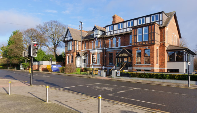
Image: © Trevor Littlewood Taken: 22 Jan 2020
Osborne Road, the B1600, is in the Jesmond district of Newcastle upon Tyne, one of the smartest roads in the city and well supplied with equally smart eateries.
Images are licensed for reuse under creativecommons.org/licenses/by-sa/2.0
Image Location
Latitude
54.99217
Longitude
-1.603456