Queen's Head, Fyfield, near Ongar
Introduction
The photograph on this page of Queen's Head, Fyfield, near Ongar by Malc McDonald as part of the Geograph project.
The Geograph project started in 2005 with the aim of publishing, organising and preserving representative images for every square kilometre of Great Britain, Ireland and the Isle of Man.

There are currently over 7.5m images from over 14,400 individuals and you can help contribute to the project by visiting https://www.geograph.org.uk
Queen's Head, Fyfield, near Ongar
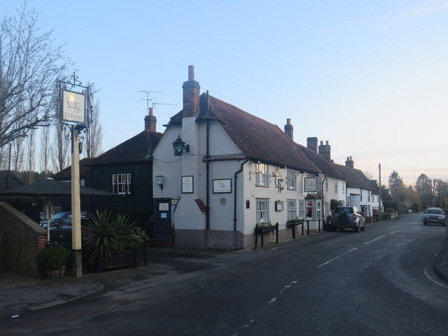
Image: © Malc McDonald Taken: 18 Jan 2020
The Queen's Head pub in the village of Fyfield, in Essex. The road passing the pub is Queen Street, which is on the route of National Cycle Network route 1. This image was taken at dusk on a chilly January afternoon.
Images are licensed for reuse under creativecommons.org/licenses/by-sa/2.0
Image Location
Latitude
51.73899
Longitude
0.27285