Farm track access gateway and stone stile in wall of Great Close Lane
Introduction
The photograph on this page of Farm track access gateway and stone stile in wall of Great Close Lane by Luke Shaw as part of the Geograph project.
The Geograph project started in 2005 with the aim of publishing, organising and preserving representative images for every square kilometre of Great Britain, Ireland and the Isle of Man.

There are currently over 7.5m images from over 14,400 individuals and you can help contribute to the project by visiting https://www.geograph.org.uk
Farm track access gateway and stone stile in wall of Great Close Lane
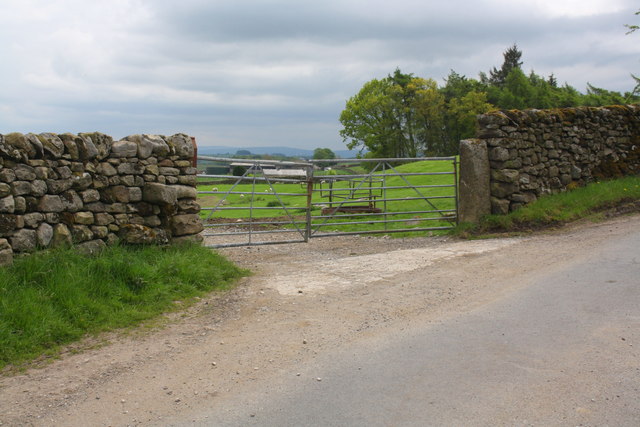
Image: © Luke Shaw Taken: 18 May 2019
There is an OS benchmark Image on the stile step half way up the wall: the stone has obviously been moved as the benchmark is on the side of the step, whereas it would have been on top of the step originally.
Images are licensed for reuse under creativecommons.org/licenses/by-sa/2.0
Image Location
Latitude
54.030319
Longitude
-2.328801