B1283 entering Sherburn
Introduction
The photograph on this page of B1283 entering Sherburn by Trevor Littlewood as part of the Geograph project.
The Geograph project started in 2005 with the aim of publishing, organising and preserving representative images for every square kilometre of Great Britain, Ireland and the Isle of Man.

There are currently over 7.5m images from over 14,400 individuals and you can help contribute to the project by visiting https://www.geograph.org.uk
B1283 entering Sherburn
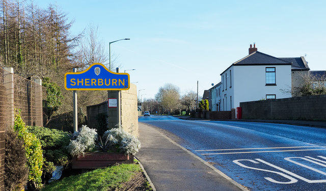
Image: © Trevor Littlewood Taken: 20 Jan 2020
The road entering the village from the west immediately to cross a bridge over a dismantled railway. It also passes a road sign in a style typical of others in County Durham.
Images are licensed for reuse under creativecommons.org/licenses/by-sa/2.0
Image Location
Latitude
54.775268
Longitude
-1.512927