Chapel and village
Introduction
The photograph on this page of Chapel and village by Jonathan Wilkins as part of the Geograph project.
The Geograph project started in 2005 with the aim of publishing, organising and preserving representative images for every square kilometre of Great Britain, Ireland and the Isle of Man.

There are currently over 7.5m images from over 14,400 individuals and you can help contribute to the project by visiting https://www.geograph.org.uk
Chapel and village
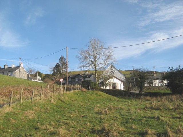
Image: © Jonathan Wilkins Taken: 18 Jan 2020
A picture of the former Capel Sion (Calvinistic Methodist) at Capel Garmon in the outskirts of the village. Not an easy subject as a consequence of obscuring new-build, but it is a picture of the place as it is found.
Images are licensed for reuse under creativecommons.org/licenses/by-sa/2.0
Image Location


Leaflet Map data © OpenStreetMap
Latitude
53.082021
Longitude
-3.769237