Church of St Trillo
Introduction
The photograph on this page of Church of St Trillo by Eirian Evans as part of the Geograph project.
The Geograph project started in 2005 with the aim of publishing, organising and preserving representative images for every square kilometre of Great Britain, Ireland and the Isle of Man.

There are currently over 7.5m images from over 14,400 individuals and you can help contribute to the project by visiting https://www.geograph.org.uk
Church of St Trillo
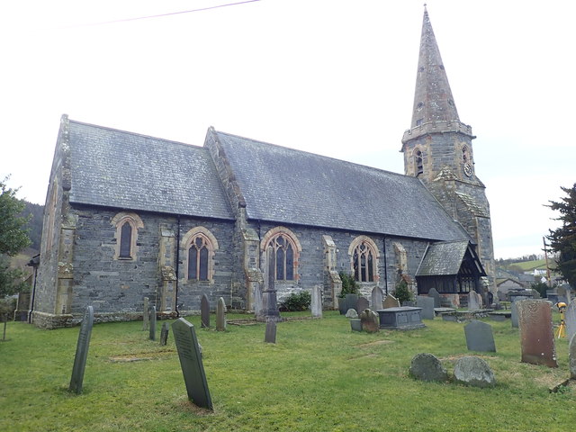
Image: © Eirian Evans Taken: 28 Dec 2019
Located in the centre of the village within a roughly circular churchyard, the church is Grade II listed.
Images are licensed for reuse under creativecommons.org/licenses/by-sa/2.0
Image Location


Leaflet Map data © OpenStreetMap
Latitude
52.922329
Longitude
-3.43799