Bend in the track near Greenburn
Introduction
The photograph on this page of Bend in the track near Greenburn by Alan O'Dowd as part of the Geograph project.
The Geograph project started in 2005 with the aim of publishing, organising and preserving representative images for every square kilometre of Great Britain, Ireland and the Isle of Man.

There are currently over 7.5m images from over 14,400 individuals and you can help contribute to the project by visiting https://www.geograph.org.uk
Bend in the track near Greenburn
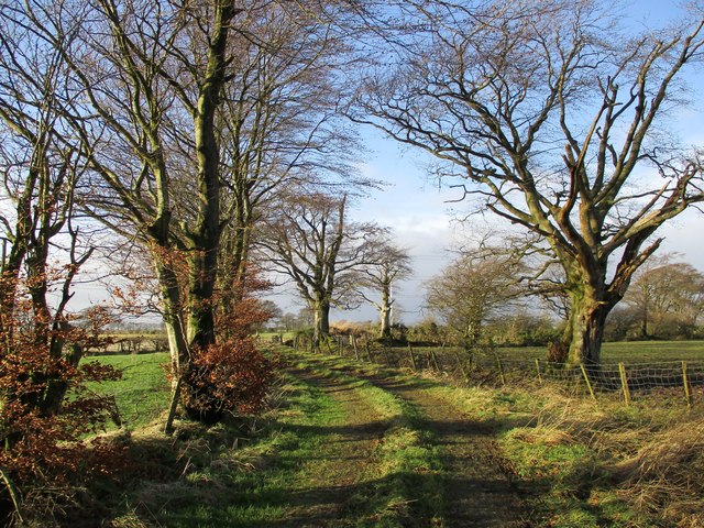
Image: © Alan O'Dowd Taken: 15 Jan 2020
An old track leading to Crumhaugh, although the track ends at a wire fence, and it would be necessary to cross a field in order to reach Crumhaugh.
Images are licensed for reuse under creativecommons.org/licenses/by-sa/2.0
Image Location
Latitude
55.671304
Longitude
-3.999072