Houses beside the Luggie Water
Introduction
The photograph on this page of Houses beside the Luggie Water by Richard Sutcliffe as part of the Geograph project.
The Geograph project started in 2005 with the aim of publishing, organising and preserving representative images for every square kilometre of Great Britain, Ireland and the Isle of Man.

There are currently over 7.5m images from over 14,400 individuals and you can help contribute to the project by visiting https://www.geograph.org.uk
Houses beside the Luggie Water
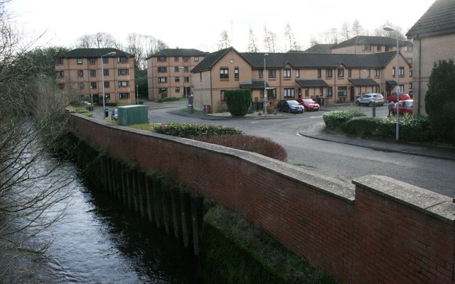
Image: © Richard Sutcliffe Taken: 15 Jan 2020
These recently built houses are on the site of the former Lion Foundry, which operated here from 1880 until 1884. See Canmore https://canmore.org.uk/site/216122/kirkintilloch-eastside-lion-foundry to see images of the foundry when still operational.
Images are licensed for reuse under creativecommons.org/licenses/by-sa/2.0
Image Location
Latitude
55.939302
Longitude
-4.153288