Tye Lane
Introduction
The photograph on this page of Tye Lane by Ian Capper as part of the Geograph project.
The Geograph project started in 2005 with the aim of publishing, organising and preserving representative images for every square kilometre of Great Britain, Ireland and the Isle of Man.

There are currently over 7.5m images from over 14,400 individuals and you can help contribute to the project by visiting https://www.geograph.org.uk
Tye Lane
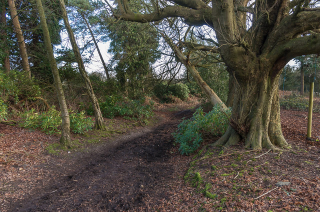
Image: © Ian Capper Taken: 10 Jan 2020
Bridleway BW494 connecting Headley Common Road and Dorking Road. The fact that it is named (and was so on 19th Century maps, so presumably historically) suggests that it is a very old route.
Images are licensed for reuse under creativecommons.org/licenses/by-sa/2.0
Image Location
Latitude
51.269702
Longitude
-0.268472