Thames Gateway Regeneration - Grays Wharf
Introduction
The photograph on this page of Thames Gateway Regeneration - Grays Wharf by John Winfield as part of the Geograph project.
The Geograph project started in 2005 with the aim of publishing, organising and preserving representative images for every square kilometre of Great Britain, Ireland and the Isle of Man.

There are currently over 7.5m images from over 14,400 individuals and you can help contribute to the project by visiting https://www.geograph.org.uk
Thames Gateway Regeneration - Grays Wharf
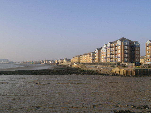
Image: © John Winfield Taken: 19 Dec 2007
Grays Wharf is recorded as existing as far back as 1228. This large brown-field site is now part of a major regeneration programme. The entrance on extreme right is to Grays Town Wharf.
Images are licensed for reuse under creativecommons.org/licenses/by-sa/2.0
Image Location
Latitude
51.473327
Longitude
0.31938