Damson Way, Carshalton
Introduction
The photograph on this page of Damson Way, Carshalton by Malc McDonald as part of the Geograph project.
The Geograph project started in 2005 with the aim of publishing, organising and preserving representative images for every square kilometre of Great Britain, Ireland and the Isle of Man.

There are currently over 7.5m images from over 14,400 individuals and you can help contribute to the project by visiting https://www.geograph.org.uk
Damson Way, Carshalton
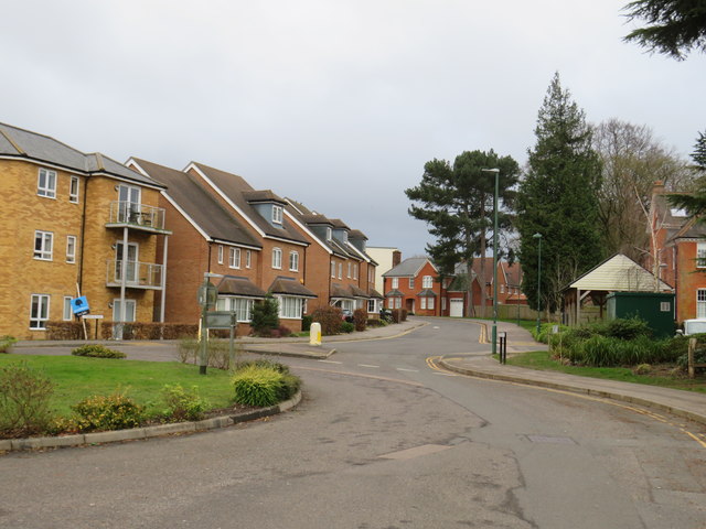
Image: © Malc McDonald Taken: 11 Jan 2020
Damson Way forms part of a housing development on the site of a former hospital in Carshalton, in the outer suburbs of south London. The hospital closed in 1993.
Images are licensed for reuse under creativecommons.org/licenses/by-sa/2.0
Image Location
Latitude
51.349395
Longitude
-0.167402