Eddington: along Turing Way
Introduction
The photograph on this page of Eddington: along Turing Way by John Sutton as part of the Geograph project.
The Geograph project started in 2005 with the aim of publishing, organising and preserving representative images for every square kilometre of Great Britain, Ireland and the Isle of Man.

There are currently over 7.5m images from over 14,400 individuals and you can help contribute to the project by visiting https://www.geograph.org.uk
Eddington: along Turing Way
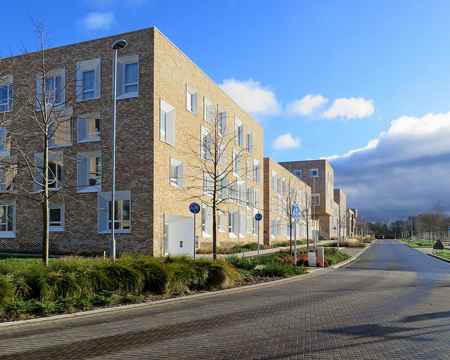
Image: © John Sutton Taken: 12 Jan 2020
This is the current southern edge of the North-West Cambridge Development. The dark clouds on the right were moving quickly eastwards, so the next twenty minutes were bright.
Images are licensed for reuse under creativecommons.org/licenses/by-sa/2.0
Image Location
Latitude
52.217166
Longitude
0.085205